
Vice City
confirmedThe neon capital: art-deco beachfront, dense downtown and the largest metro in the state, sheltered behind a long line of barrier islands.
Evidence: Trailer 2 skyline flyover
Interactive map
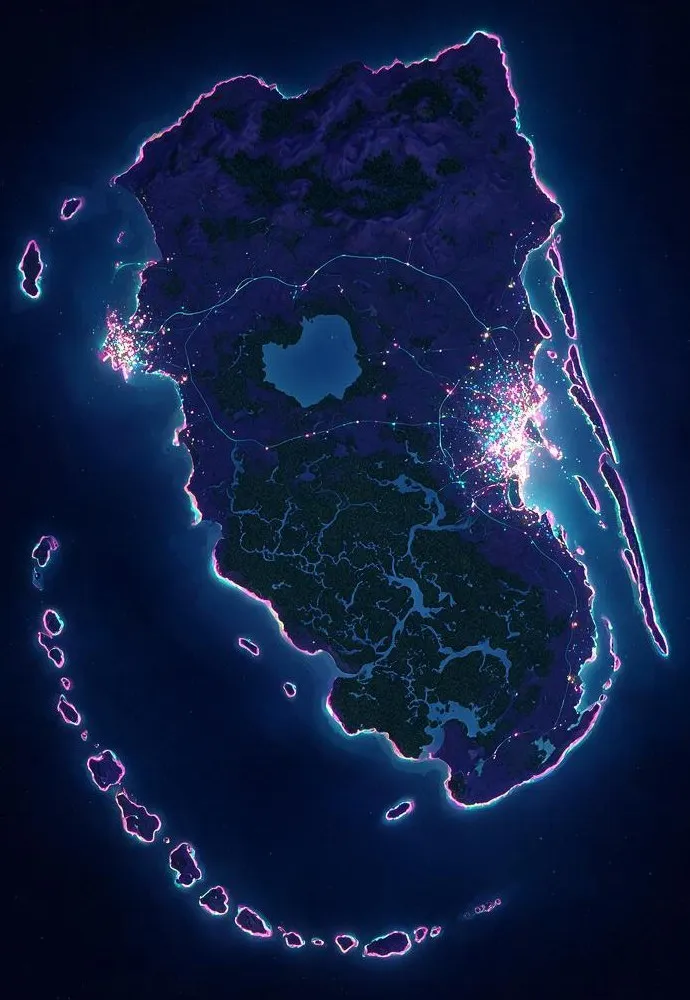
Every officially named region of GTA 6's Leonida, pinned on our own speculative map. Region names come from Rockstar's official site; positions are our read of trailer evidence and Florida geography — expect them to shift as more footage lands. This is original artwork, not the game's map. The real interactive map replaces this page at launch.
The neon capital: art-deco beachfront, dense downtown and the largest metro in the state, sheltered behind a long line of barrier islands.
Evidence: Trailer 2 skyline flyover
The island chain curling off the southern tip — marinas, motels, stilt houses and Jason's home turf when the story opens.
Evidence: Trailer 2: life in the Keys
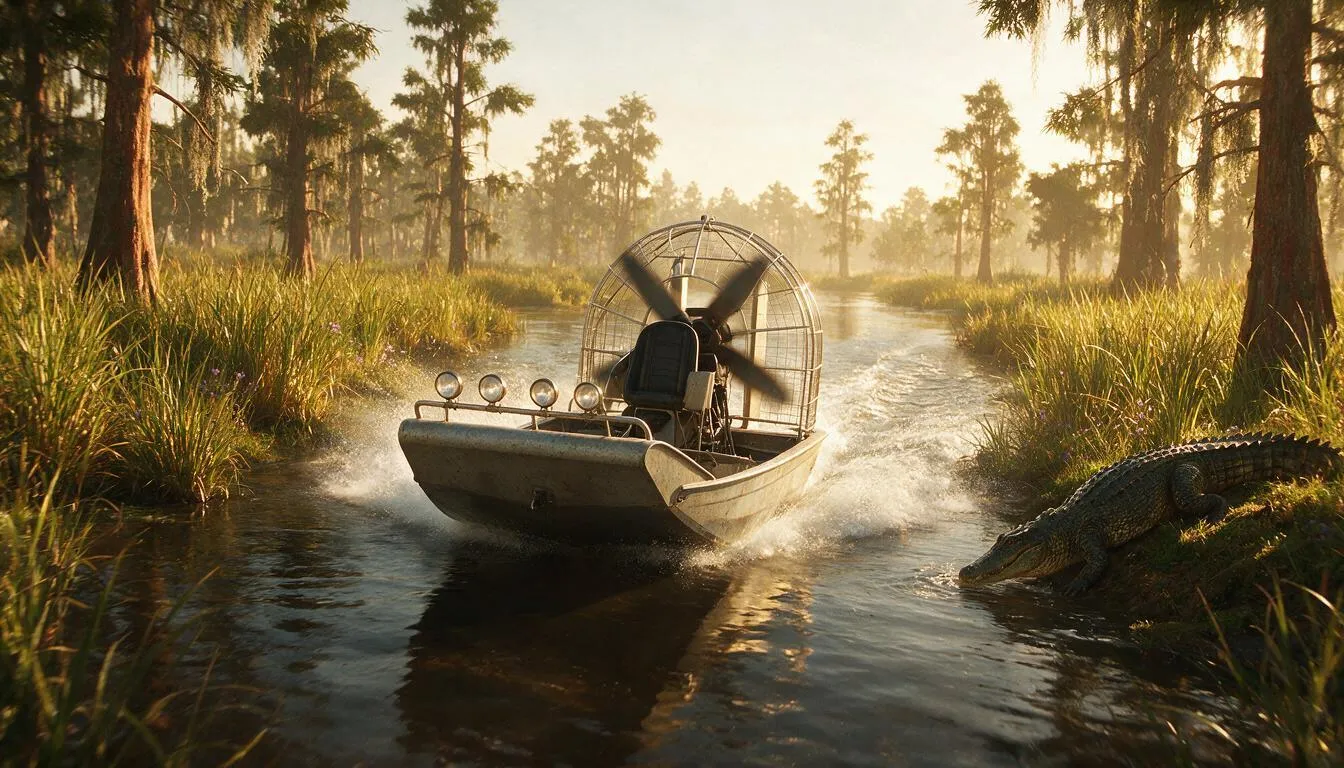
Everglades-style wetlands filling the south-center of the state: airboat channels, sawgrass, gators and water-bound communities.
Evidence: Trailer 2: backwater Leonida
A gulf-coast port town on the western shore — boardwalk, industry and faded-glory energy far from Vice City money.
Evidence: Map & setting guide
Inland sugar-belt country south of the big lake — cane fields, processing plants and flat agricultural horizons.
Evidence: Map & setting guide
Wooded highlands and a state park across the north — the wilderness counterweight to Vice City's neon.
Evidence: Map & setting guide